

History of navigation
Human navigation evolved from observing natural landmarks and celestial bodies to satellite-based digital systems. Over millennia, this progression transformed global exploration, trade, and transportation, shrinking the world and eventually enabling precision journeys across land, sea, air, and space. [1, 2, 3, 4, 5]
1. Prehistoric & Ancient Era: Nature as the Map
Early humans navigated using memory, natural landmarks, and the movement of the sun and stars. [1, 2]
- Wayfinding: Indigenous and nomadic tribes tracked animal migrations, prevailing winds, and ocean swells. Pacific Islanders utilised Marshall Islands stick charts made of fronds and shells to map ocean wave patterns. [1, 2, 3]
- Early Astronomy: As early as 2000 B.C.E., the Phoenicians and ancient Polynesians used constellations to sail vast open oceans at night. [1, 2]
- Dead Reckoning: Sailors estimated their current position based on their last known location, travel direction, and estimated speed. [1, 2]
2. The Middle Ages: Instruments & Direction
Mathematical and scientific developments introduced tools that allowed sailors to venture further from coastlines. [1]
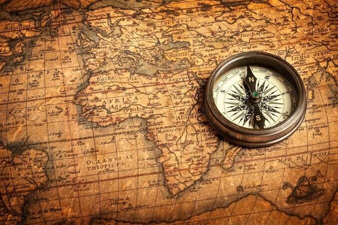
- The Compass: Originally invented in China in the 3rd century B.C.E. and adopted by European sailors by the 12th century, the magnetic compass provided reliable directional data regardless of weather. [1, 2]
- Astrolabe: Perfected by Islamic and Greek astronomers, this device measured the altitude of the sun and stars to determine latitude (north/south positioning). [1, 2, 3, 4]
3. The Age of Discovery (15th–18th Century): The Longitude Problem
European explorers mapped new continents, but charting exact east-west positions (longitude) remained a deadly challenge until the 18th century. [1, 2]
- Sextant: Developed in the 1700s, it refined the astrolabe by measuring the angle of celestial bodies with extreme precision.
- Marine Chronometer: British clockmaker John Harrison invented the H4 chronometer in 1761, which kept accurate time at sea. By comparing local time to a reference point (Greenwich Mean Time), mariners could finally calculate exact longitude. [1, 2, 3, 4, 5]
4. 20th Century: Radio, Radar, & Inertia
World Wars and the rise of commercial aviation prompted technologies that operated independently of the weather or clear skies.
- Radio Navigation: Systems like LORAN (Long Range Navigation) allowed navigators to determine position using synchronised radio signals.
- Radar & Sonar: Allowed ships to calculate the distance to obstacles and the seafloor, improving safety in poor visibility.
- Inertial Guidance: Used by submarines and early spacecraft, this computer system calculates position continuously by tracking a vehicle's acceleration and rotation. [1, 2, 3, 4, 5]
5. The Satellite Era & Digital Age
Today, navigation is dictated by global constellations of artificial satellites.
- GPS & GNSS: The United States fully deployed the Global Positioning System (GPS) in the 1990s, offering pinpoint positioning anywhere on Earth using trilateration.
- Digital Mapping: GPS integrates with mapping services on mobile devices, providing real-time turn-by-turn routing and traffic updates. [1, 2, 3, 4]